A place to pause.
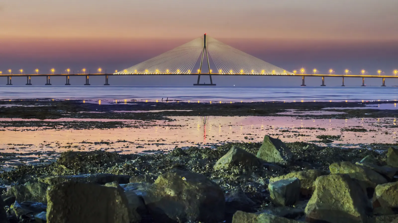
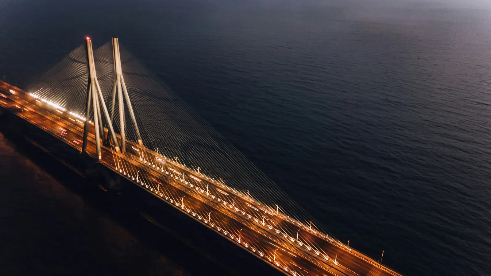
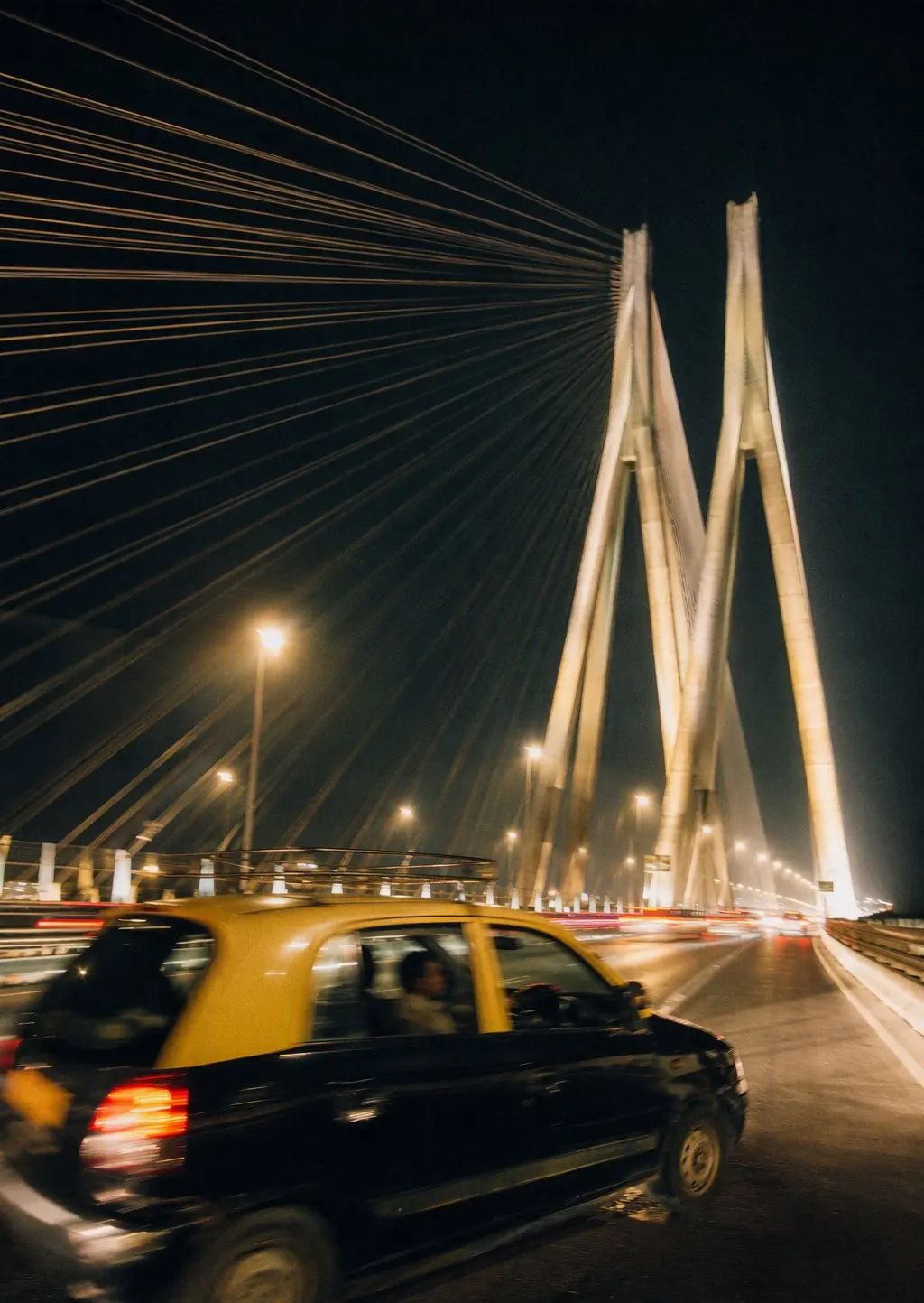
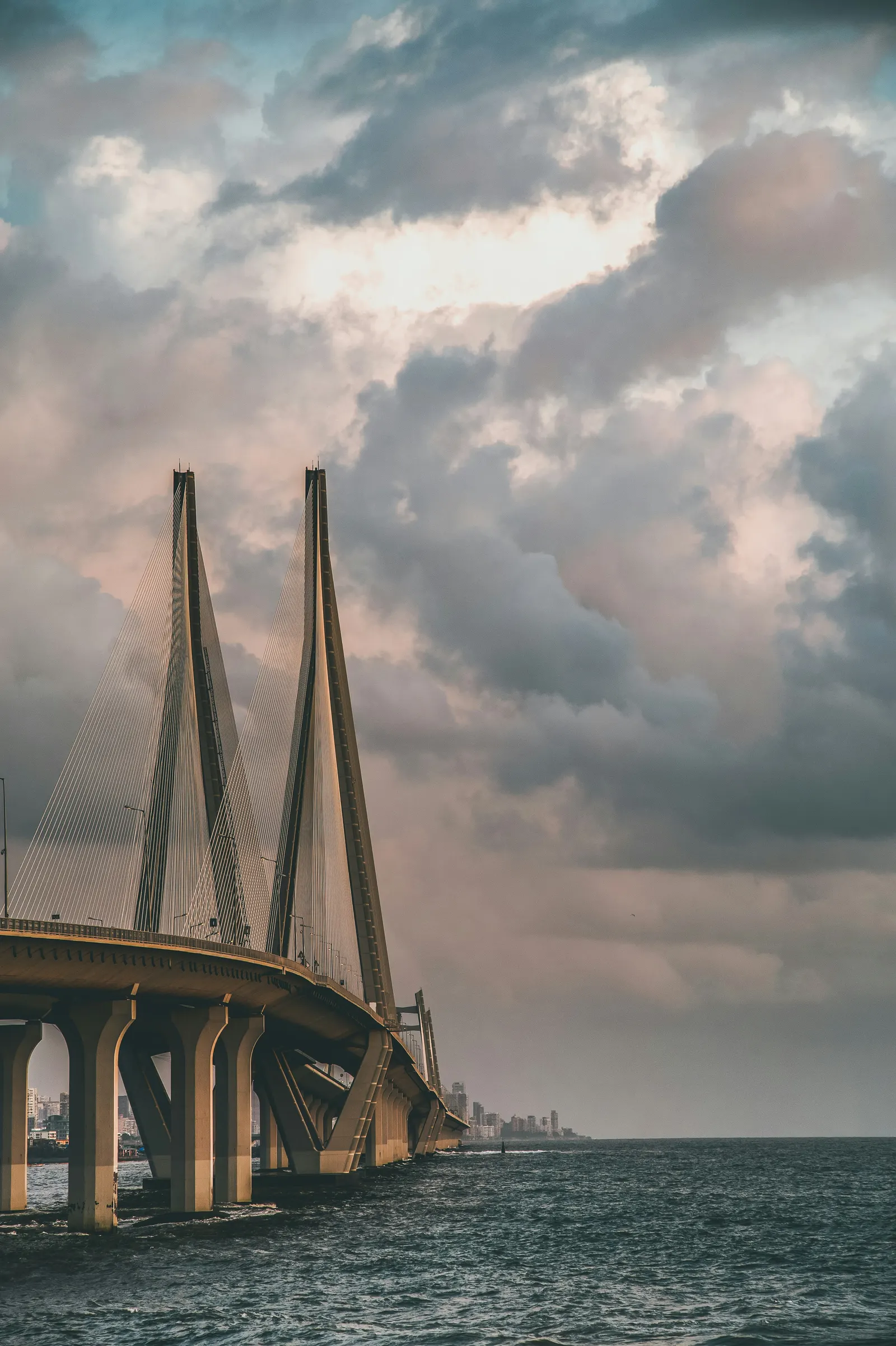
The bridge is as rewarding from the shore as it is from a car. Choose a waterfront view, watch how the cables frame the sky, and leave the crossing itself to your transport plan. The photographs here show several perspectives, not a walking route across the bridge.
Behind the place.
Purpose · Why build a sea link?
The bridge was built to connect Bandra and Worli by road.
Read moreRead less
The Sea Link connects Bandra and Worli with a limited-access road over the sea. It is transport infrastructure as well as a landmark, so a visitor’s photograph must fit around its working purpose.
Continue reading at Maharashtra State Road Development Corporation ↗Engineering · A skyline of cables
Tall pylons and supporting cables give the bridge its recognisable silhouette.
Read moreRead less
The cable-stayed bridge uses tall pylons and an array of supporting cables. From the shore, those repeated lines become the feature that makes it so recognisable.
Continue reading at Incredible India ↗Visiting · View it from the shore
Make the shore your viewing point; the bridge is for vehicles.
Read moreRead less
MSRDC describes the bridge as a limited-access facility for fast-moving vehicles, with access restricted to four-wheelers and above. Use a shore viewpoint for a leisurely look rather than planning to walk onto the bridge.
Continue reading at Maharashtra State Road Development Corporation ↗The useful details.
The Sea Link is a vehicle route, not a pedestrian promenade. Do not stop on the bridge for photos. Directions below lead to the Bandra shore area; check local access and stay clear of wet rocks and rough water.
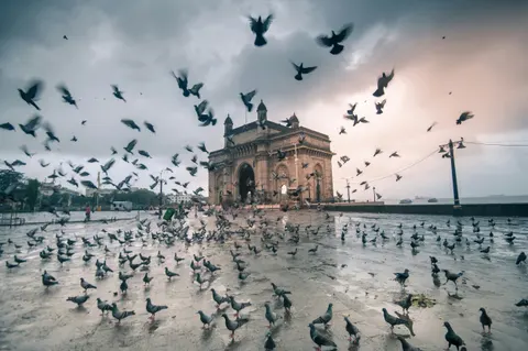 Colaba · Harbour & heritage
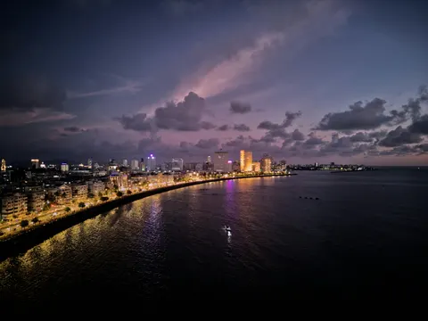 South Mumbai · Waterfront
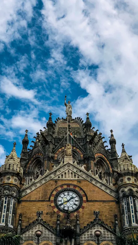 Fort · Railway heritage